Geography

Landscapes
The communities along Spain's northern edge — Galicia, Asturias, Cantabria, the Basque Country, Navarre, and Aragon — collectively contain the country's highest mountains, wettest climate, and most complex Atlantic coastline.
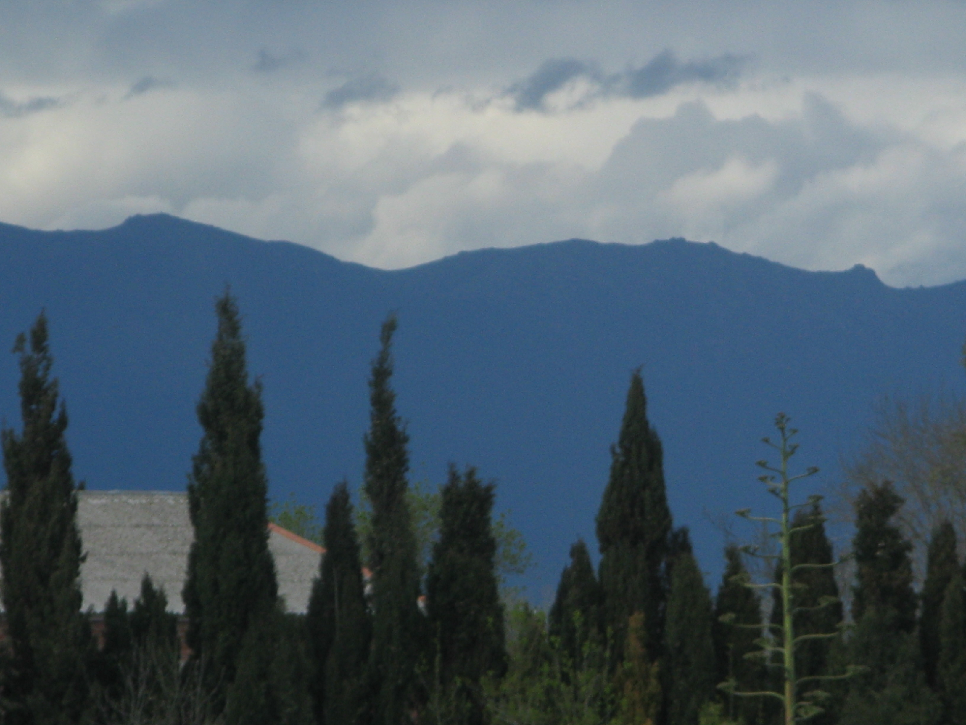
The Pyrenees mountain range extends approximately 491 kilometres from the Bay of Biscay in the west to Cap de Creus on the Mediterranean coast in the east. The range forms a near-continuous natural barrier between the Iberian Peninsula and the rest of continental Europe, with only a handful of low passes historically accessible year-round.
The Spanish side of the Pyrenees falls within four communities: the Basque Country, Navarre, Aragon, and Catalonia. The highest point on the Spanish side is Pico Aneto in Aragon, at 3,404 metres — the tallest peak in the Pyrenees overall. The range carries permanent snowfields and, in its central portion, several small glaciers, though these have retreated substantially over the past century.
The valleys cutting south from the Pyrenean axis are deeply incised and historically isolated. Each developed its own vernacular architecture, agricultural systems, and in some cases distinct Romance dialect variants. The valleys of Hecho, Ansó, and Benasque in Aragon, and Roncal and Salazar in Navarre, remain visually distinctive from the lowlands to the south.
Elevation reference
Pico Aneto (Aragon, Pyrenees): 3,404 m — highest peak in the range. Torre Cerredo (Picos de Europa, Asturias/Cantabria): 2,650 m — highest point in the Cantabrian Mountains.
Running parallel to the Cantabrian coast roughly 20 to 50 kilometres inland, the Cordillera Cantábrica forms a second major mountain axis. The range stretches about 300 kilometres from the eastern Basque Country to Galicia, separating the wet Atlantic north from the drier Castilian plateau to the south.
Within this range, the Picos de Europa massif stands out for its dramatic karst limestone relief. The massif is divided between three communities — Asturias, Cantabria, and Castile and León — and was designated one of Spain's first national parks. Its sheer walls, cirques, and deep gorges (notably the Garganta del Cares, with walls up to 1,000 metres high) are geologically distinct from the granitic and schist terrain of much of the surrounding range.

Picos de Europa, shared by Asturias, Cantabria, and Castile and León. Photo: Wikimedia Commons / Public Domain
The communities of the Atlantic coast — Galicia, Asturias, Cantabria, and the Basque Country — are collectively referred to as "Green Spain" (España Verde). The designation reflects a climate shaped by persistent Atlantic weather systems: annual rainfall commonly exceeds 1,000 millimetres in lowland areas and reaches 2,000 millimetres or more in exposed mountain zones. Sunshine hours are significantly lower than in central or southern Spain.
The consequence is a landscape that diverges sharply from the popular image of an arid Iberian interior. Atlantic oak woodland (Quercus robur), chestnut, and birch cover substantial areas, interspersed with the intensely managed small-field agricultural patchwork characteristic of Galicia and coastal Asturias. Eucalyptus plantations, introduced from Australia in the 20th century, now cover substantial areas of Galicia and parts of Asturias, a fact that has generated ongoing ecological and policy debate.
Galicia occupies the northwestern corner of the Iberian Peninsula. Its coastline is characterised by rías — elongated coastal inlets formed by the submergence of river valleys — which provide sheltered anchorages and productive shellfish beds. The Rías Baixas (Lower Rías) in southern Galicia are the most extensive; the same area is known for Albariño white wine production.
Inland Galicia is predominantly granite and schist upland, with elevations rarely exceeding 1,000 metres except in the eastern cordilleras bordering Castile and León. The landscape is one of the most fragmented agricultural systems in Europe, characterised by extremely small land parcels (minifundios) that reflect inheritance practices stretching back centuries.
Asturias and Cantabria occupy a narrow coastal strip between the Bay of Biscay and the Cantabrian Mountains. Both communities are relatively narrow — the distance from the coast to the highest mountain ridges is often under 50 kilometres — producing extremely compressed altitudinal gradients. The narrow coastal plain widens slightly in the areas around Avilés and Gijón in Asturias, where industrial development concentrated during the 20th century around coal and steel production.
Cantabria's coast, though shorter, contains the Altamira cave system, a UNESCO World Heritage Site known for its Palaeolithic paintings estimated to be around 36,000 years old.
The Basque Country (Euskadi) spans three historical territories — Álava (Araba), Gipuzkoa, and Bizkaia — with its capital in Vitoria-Gasteiz. The community's northern coastal zone receives Atlantic rainfall and is heavily industrialised around the Bilbao estuary. Moving south into Álava, the terrain opens into the drier Ebro depression. Navarre similarly transitions from wet, forested north to semi-arid south within a single community — a compression that makes it one of the most topographically varied in Spain relative to its size.
The Basque language (Euskera) is spoken natively in parts of Gipuzkoa and Bizkaia, and has seen significant revival through the ikastola school system, which provides education entirely in Basque. The language's non-Indo-European origin and its persistence as a spoken community language despite centuries of surrounding Romance influence is a significant subject of historical linguistics.
Northern Spain's rivers generally run either directly north to the Bay of Biscay (the Nervión, Urola, Oca, Navia, Nalón) or northwest toward the Atlantic via Galicia (the Miño, Sil, Ulla, Tambre). The Ebro — Spain's highest-volume river — rises in Cantabria at the Fontibre spring near Reinosa and flows southeast through Navarre and Aragon before reaching the Mediterranean. The contrast between rivers that reach the sea within 50 kilometres of their source and the Ebro's 930-kilometre course illustrates the topographic complexity of the region.
The combination of Atlantic climate, complex topography, and deep rural settlement history has produced a land-use mosaic unlike that found elsewhere in Spain. Permanent meadows, hedgerow-bounded parcels, and scattered farmsteads (caseríos in the Basque Country, pazos in Galicia) give the north a distinctly north-European visual quality at lower altitudes. This shifts abruptly above the tree line into open montane heath and limestone karst, and shifts again toward the south-facing slopes of the Pyrenean valleys where vineyards appear in Navarre and La Rioja just a few kilometres from year-round snow.